Research Consortia and Infrastructure
Forest Global Earth Observatory (ForestGEO)
ForestGEO is a global network of scientists and forest research sites studying forest dynamics in a era of global change.
GEO-TREES
GEO-TREES is a global network of scientists and forest research sites providing high-accuracy ground data for satellite-derived biomass mapping.

SCBI ForestGEO plot
The Smithsonian Conservation Biology Institute (SCBI) hosts a 25.6 ha ForestGEO plot and is a GEO-TREES site.
Current Research Initiatives

Global Change Impacts on a Temperate Deciduous Forest
With support from an NSF LTREB grant, ‘Disentangling mechanisms through which global change may reverse the carbon sink of a temperate deciduous forest’, we are working to understand how various global change drivers are impacting the SCBI ForestGEO plot and beyond.
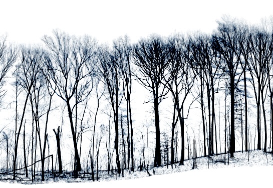
Temperate GEO-TREES
We are working to develop the temperate component of GEO-TREES, a global network of scientists and forest research sites providing high-accuracy ground data for satellite-derived biomass mapping.

Climate Sensitivity of Tropical Tree Growth
We are using ForestGEO’s unparalleled long-term measurements of tree growth to understand the interannual climate sensitivity of tropical tree growth.

Forest Microwave Imaging
In collaboration with The Smithosnian Astrophysical Observatory, Yale University, and others, we are pioneering a technique to create 3D forest images – complete with material properties – using Passive Interferometric Microwave Imaging.

Global Drivers and Mitigation of Forest Biomass Loss
We are leading a global team to identify drivers of forest biomass loss and effective interventions.